CREAF showcases its international leadership in standards development and environmental data quality improvement
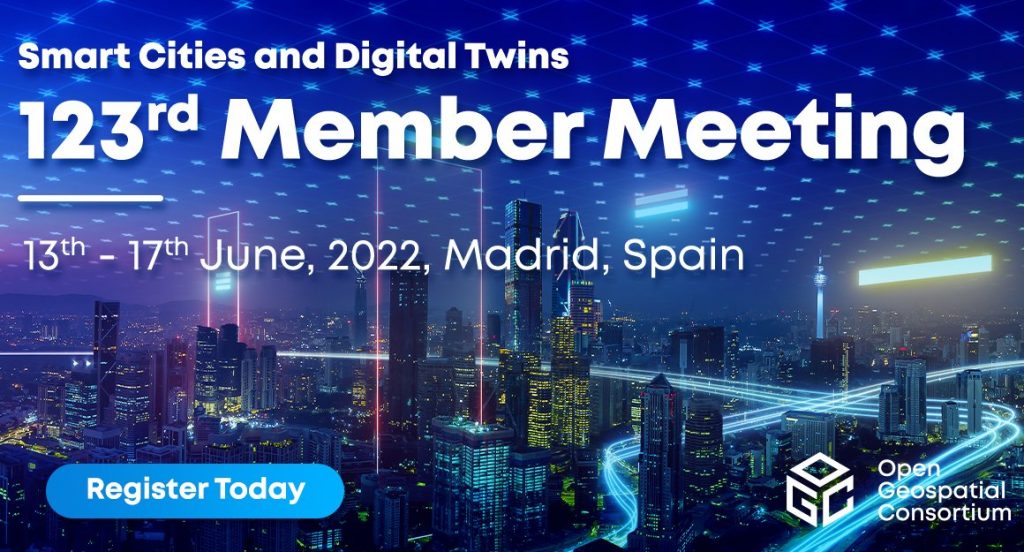
CREAF recently took part in the latest Open Geospatial Consortium (OGC) Member Meeting.Held in Madrid in June, the international conference involved speakers from all over the world, each of them looking to promote and share experiences related to the use of standards that facilitate the exchange of information and data between different countries, organizations and platforms.
CREAF’s Joan Masó Pau and various members of his team — Kaori Otsu, Alba Brobia Ansoleaga and Núria Julià Selvas, who are also part of the GRUMETS-UAB research group — participated in a number of sessions at the conference. Specifically, they shared the experience they have acquired and the results they have obtained in standards development in two areas: geospatial information systems, which monitor the situation of the planet, and citizen science platforms, which store information about biodiversity and environmental parameters such as water or air quality.
The CREAF researchers shared the experience they have acquired and the results they have obtained in standards development in two areas: geospatial information systems, which monitor the situation of the planet, and citizen science platforms, which store information about biodiversity and environmental parameters such as water or air quality.
“After a two-year wait, this face-to-face event was an opportunity to speed up the production of standards and share our experiences, results and projects with other OGC members working in the same field,” says Masó. The key moments of the conference included his group submitting ‘OGC API titles’, a proposal intended to simplify access to geospatial data via the OGC APIs website, to voting.

One of the various sessions in which Masó’s group took part was the presentation ofILIAD, a new project for the creation of a digital twin of the ocean which will connect the sensors that gather maritime information (temperature, pollution, etc.) and standardize that information so it can be stored, exchanged and reused in global research on, for example, how climate change affects oceans. “CREAF is responsible for maritime data from citizen science platforms,” Masó remarks.
The event was also an opportunity to share proposals for helping to identify the quality level of geospatial data, a crucial consideration when drawing conclusions from scientific research.
The group also presented proposals for identifying the quality level of geospatial data, a crucial consideration when drawing conclusions from scientific research. CREAF is seeking to pinpoint suitable criteria through European projects such as WQeMS, which uses sensors to monitor lake water quality, and EIFFEL, which offers Earth observation applications that collect standardized climate data.
The draft specification of the OGC standard ‘Cloud Optimized GeoTIFF (COG)’, a type of file that paves the way for more efficient workflows in the cloud environment, was also discussed at the conference. The draft is similar to the standard that industries working with satellite images use to transmit only the information necessary to view a COG file. “And it does that by means of just HTTP, so there is no need to install any data services,” points out Masó.
Additionally, Masó and Kaori Otsu have collaborated on the presentation of STAplus, a new service that helps make the data gathered by citizen science platforms accessible, interoperable and reusable. STAplus has been developed as part of Cos4Cloud, a European Horizon 2020 citizen science and technological enhancement project coordinated by the Institute of Marine Sciences (ICM-CSIC), in which CREAF is leading work on interoperability. “STAplus is a result of our work in Cos4Cloud,” explains Otsu. “Our goal now is for it to become a document of good practices in citizen science and, perhaps, an official extension of the SensorThings API standard,” she continues.
Interoperability Day
To end the meeting, Masó, the Spanish National Geographic Institute and OGC’s Iberian and Latin-American Forum (ILAF) organized Interoperability Day, an event held in Spanish at which everybody is welcome to share experiences of next-generation web APIs, interfaces for communication between two different systems or platforms. The 2022 Interoperability Day was the fifth the ILAF has organized in the last 12 years.
Click here to find out more about Joan Masó’s research.


