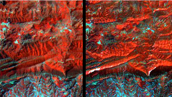
Researchers at the CREAF are working on a study of land cover and land use for the Iberian Peninsula
The DINACLIVE project aims to analyze how land cover and land uses have changed throughout the Iberian Peninsula. With the extracted information, they will be able to observe the impacts of climate change and other factors, such as the effects of the drought on vegetation.

The researchers Joan Masó, Lluis Pesquer and Ivette Serral lead this project, financed by the Ministry of the Economy and Competivity, that will take place until 2015. The goal is to analyze a long time series of measured climatic data and also satellite image records covering more than 40 years, a job that began with the Digital Climate Atlas of the Iberian Peninsula and the Catalan Satellite Image Server, SatCat.
In fact, one of the goals that the team aims to achieve is to extend the information obtained by the Catalan Satellite Image Server to the entire peninsula.
To do this you will need to add procedures to correct the deformation and the atmospheric effects on the satellite images. In general, the deformations of these images come from the geometry of the sensors, the relief of the terrain or inaccuracies that may occur at the time of image capture. Applying these correction processes allows one to extract the appropriate information out of land use and land cover. In addition, on the basis of these images they will be able to understand the main causes of the changes produced in the last few years and can generate maps that predict future changes in land use.
The massive treatment of data necessary for the realization of this project raises challenges of computational ability, process automation and storage and integration of the most innovative methodologies, known as Big Data. In order to achieve the integration of the modern European and global spatial data infrastructures, such as INSPIRE and GEOSS, the researchers will launch several web services (in accordance with the standards of the Open Geospatial Consortium). These services will display the maps for the general public and allow anyone to download the data and in-depth analysis from other scientists in this field.
DINACLIVE is a project that works on several of the priority lines of the GRUMETS research group and that should contribute to the understanding of agents and the consequences of global change on our planet. New developments in the field of remote sensing and spatial analysis will be incorporated in new versions of the MiraMon GIS.
More information:
Servidor d’imatges de Satèl·lit de Catalunya: www.opengis.uab.cat/wms/satcat/
Atlas Climático Digital de la Península Ibérica: www.opengis.uab.es/wms/iberia/
Open Geospatial Consortium: www.opengeospatial.org
SIG MiraMon: www.creaf.uab.cat/miramon
GRUMETS: www.grumets.uab.cat


