Technician
Pau Montero Estaña
I have a degree in geology by the University of Barcelona (2012) and a master's degree in Remote Sensing and Geographic Information Systems (GIS) by the Universitat Autònoma de Barcelona (2019). My…
I have a degree in geology by the University of Barcelona (2012) and a master's degree in Remote Sensing and Geographic Information Systems (GIS) by the Universitat Autònoma de Barcelona (2019).
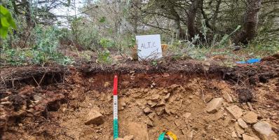
My research focuses on the restoration of degraded soils and the application of remote sensing and GIS to quantify and improve the interpretation of geomorphological and ecological processes in these areas. Among other techniques, I use drone/UAS to monitor and track restoration processes.


