ECOPOTENTIAL launched “SPACED: Using Earth Observations to Protect Natural Landscapes" exhibition in Bruxelles
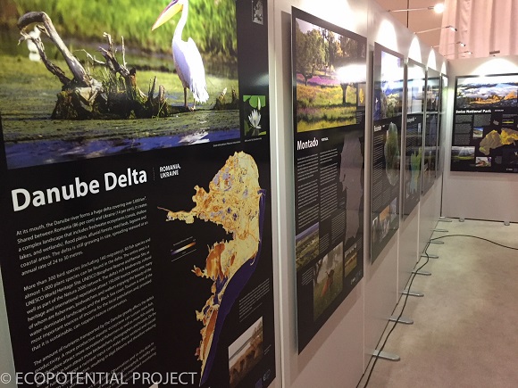
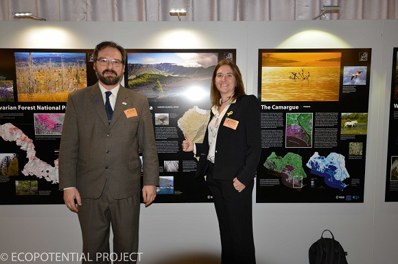
To help promote ECOPOTENTIAL project CREAF and all ECOPOTENTIAL partners opened an exhibition entitled "Spaced: Using Earth Observations to Protect Natural Landscapes" at the European Parliament. Those with passes to the European Parliament can view it from 8-12 January 2018.

A new exhibit on display at the European Parliament explores the crucial role of satellites in observing and conserving Europe´s natural areas.
The European Union´s largest research funding source, Horizon 2020, is keenly aware of this and has supported the development of ECOPOTENTIAL, a unique project that involves 47 partners from around the continent. ECOPOTENTIAL focusses on developing satellite (otherwise known as Earth Observation) products and data to monitor and predict changes in Europe´s ecosystems.
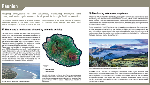
ECOPOTENTIAL´s testing ground is 25 protected areas around Europe, which represent almost all of Europe´s biogeographic areas and include mountain, marine and coastal and semi-arid zones.
The exhibit showcases Earth observation products derived from US and European satellites, stunning photos and accompanying stories that explore how protected area managers and scientists from the ECOPOTENTIAL project are working together to safeguard some of Europe's most iconic protected areas. Ultimately, this is a story about how science and modern technology benefit European society as a whole

Two members of CREAF, Cristina Domingo and Joan Masó, attended the opening of the exhibition. They also present the book SPACED: Using Earth Observation to Protect Natural Landscapes
The book describes how Earth observation is used for monitoring and studying ecosystems in the 24 protected areas investigated in the H2020 project ECOPOTENTIAL. It describes a collection of scenarios where Earth observation data is essential, accompanied by visual maps covering the whole extension of each protected area. The main purpose of this volume is to illustrate the capabilities of remote sensing and how this technique is being applied in many ways to monitor several different aspects of ecosystems and environmental conditions. Each type of ecosystem (mountain, arid or coastal and marine) presents different challenges that are addressed through different Earth observation and data analysis approaches by the ECOPOTENTIAL researchers.
We trust that this book illustrates the extent to which Earth observations by satellites have become a crucial tool for obtaining a global view of natural ecosystems, as well as for monitoring ongoing changes and supporting knowledge-based conservation and management strategies.


