CREAF takes off with the Landsat-9 satellite
The recent launch of the Landsat-9 satellite by NASA and the United States Geological Survey (USGS) marks a small step forward in the study and understanding the Earth's surface. CREAF followed this charismatic event live and took the opportunity to bring remote sensing technologies closer to society.
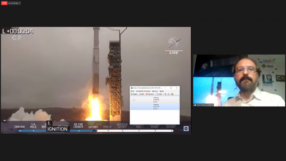
Since the first satellite was launched into space in the 1950s, mankind has sent more than 200 satellites dedicated to remote sensing. The latest, NASA's Landsat-9, was launched this week and did not go unnoticed by CREAF's research staff. The Grumets research group, which belongs to CREAF and the UAB, organised a virtual event open to the public so that different experts in remote sensing technologies could contribute their knowledge with a series of interesting videoconferences and culminate the event by following live the launch of NASA's Landsat-9 satellite into space.
Through different presentations and lectures they explained, among many other things, what remote sensing is, what platforms and sensors this branch of science uses, everything about the Landsat series of satellites and its European counterpart Copernicus, the derived products and technological aspects of these advances and, above all, the technical details of the protagonist of the day: Landsat-9.
Among the speakers were CREAF researchers Joan Masó, Alaitz Zabala and Imma Serra. Also taking part were Dr Xavier Pons and Dr Joan-Cristian Padró (UAB) and engineers Eduardo de Miguel (INTA) and Vicenç Palà (ICGC).
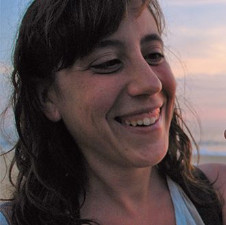
The event was introduced and energised by Joan Masó and Ivette Serral, both CREAF researchers, who explained what was being transmitted through NASA's official channels.

“It is exciting to see the efforts of so many people in the form of a widget on a huge fuel cylinder. We hope that Landsat-9 can continue to contribute to a series that has nearly 50 years of data that is so useful for us to see first-hand the changes on the Earth's surface, whether natural or anthropogenic in origin. As NASA says: Go Landsat”.
JOAN MASÓ, CREAF researcher.

The high point of the afternoon came when, at eight o'clock sharp and as planned, the rocket carrying Landsat-9 took off into space. Before the attentive gaze of the various researchers and all the public virtually present, NASA's new satellite set off on its journey. In a few months' time, when it is fully operational in orbit, it will replace Landsat-7 and join its sister satellite Landsat-8 to increase space coverage of the Earth. Its task will be the same: to continue to collect high-quality images of the entire planet every eight days. This calibrated data will continue the fundamental role of the Landsat programme: to take the pulse of the Earth and help make decisions or manage essential resources, including crops, water resources and forests. That is why some researchers, like Ivette, are particularly excited:

“Since I started, Landsat images have always accompanied me in one way or another, and especially at times of major events. I remember, in Catalonia, the images of the 1994 fires, the diversion of the Llobregat river in 2009, the continued retreat of the Ebro delta; but also the 2011 Fukushima tsunami, the fires in Brazil and Paraguay two summers ago or the eruption of the Eyjafjallajökull volcano in 2010. We look down from space overwhelmed to try to get answers to situations that are beyond us as humans”.
IVETTE SERRAL, CREAF technician.
Once again, even if it was seen from the sidelines, the CREAF research team presents itself as a benchmark, accompanying society in an event of rigorous scientific news. A small step for NASA, but a big step for remote sensing.


