A new era for geospatial information accessibility
The Open Geospatial Consortium (OGC) has approved “OGC API – Tiles – Part 1: Core”, a new standard whose development has been led by CREAF. OGC is working on updating web geoservices to adapt them to the requirements of modern APIs, an endeavour that signals the beginning of a new era for geospatial information accessibility. The new standard makes it easier for users to visualize information because it presents a greater amount and wider variety of data in the form of tiles. Only geospatial maps could be managed in such a way with the previous standard, whereas it will now be possible to work with geospatial information of any kind, be it imagery, vector data or coverages.
The new standard makes it easier for users to visualize information because it presents a greater amount and wider variety of data in the form of tiles
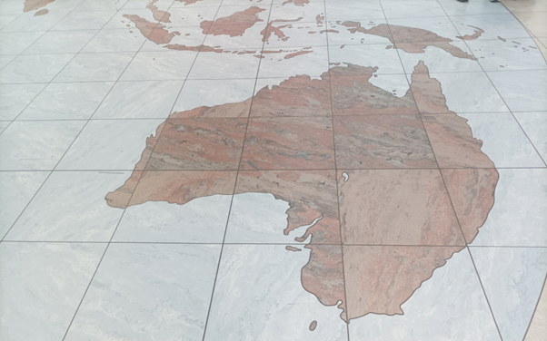
. Organizing data in the way in question basically involves partitioning information using ordered matrix sets. The procedure is similar to the way a decorative mosaic is made with small pieces of stone, ceramic or glass. Each matrix set is like a piece or tile positioned following a pattern — something known as tessellation or tiling — in such a way as to form a mosaic. Thus, when the extraction of any information is requested, a coordinate system can quickly and straightforwardly retrieve just the necessary part.
The newly approved standard references another standard, also developed under the leadership of CREAF, which precisely defines how tiling is to be carried out or, in other words, how matrix sets are to be generated and ordered. The new standard does not alter the basic structure of the system, so all new mosaics created will be fully compatible with those already in existence. That entails an opportunity for the European environmental data network to gain new capabilities and improve data interoperability.

This is the first part of the web application OGC is developing. Software developers who want to implement products that support it can find example API definition files and associated schemas here. Future parts of the application will add new functions (without breaking interoperability), such as the retrieval of multiple tiles through a single request. Other standards or extensions will look to provide mechanisms for handling additional dimensions, such as elevation, or more advanced temporal capabilities. All the work involved is part of OGC’s research and development activity, which has included a vector tiles pilot test and a number of OGC Testbed initiatives. CREAF is also working on “OGC API – Maps – Part 1: Core”, which is to replace the OGC Web Map Service (WMS), the previous standard for map creation and management.
Further information:
- Examples for developers: https://github.com/opengeospatial/ogcapi-tiles
- The OGC API Standards family: https://ogcapi.ogc.org/


