Joan Masó against the digital Tower of Babel
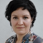
A physicist who specializes in spatial information and programming, Joan Masó has actively contributed to milestones such as the development of the MiraMon digital mapping software and the creation of the Web Map Tile Service standard. His work could be defined as using open data to create opportunities.
Physicists are probably the most adaptable scientists of all, capable of crossing the boundaries of other specialities such as computer science, biology and medicine. While that may be a very bold claim, there can be no doubt that those aspiring to a career in physics need to feel an urge to understand how the world works, to ask themselves questions and attempt to find the answers. CREAF researcher Joan Masó is a physicist who, “almost by accident” in his own words, specializes in bits and computer science.
He spent the social service he carried out instead of military service developing a publicly accessible map system at the Autonomous University of Barcelona (UAB). That brought him into contact with CREAF collaborator Xavier Pons, then a lecturer in the UAB’s Botanical Unit. Their meeting was the genesis of the MiraMon geographic information system (GIS) and remote sensing software, which, constantly updated and improved, can be used to visualize, query, edit and analyse satellite images, thematic maps, vector topographic maps, etc. For Joan Masó, it was also the start of a largely unplanned career linked to CREAF and research. “I see life as a sequence of coincidences that have determined what has happened to me. I’ve always been sitting at the station watching trains coming and going. I’ve checked the timetables, and when the train has come along I’ve tried to get on it.”
Asked to explain remote sensing in layman’s terms, Joan Masó pauses for a second, gazing back directly with a hint of irony. “That’s not something I’m directly involved in, but I belong to a group that knows a lot about it,” he says. He then provides a definition laymen would find extremely illustrative. “Remote sensing is astronomy in reverse: it entails looking at Earth through a powerful magnifier and exhaustively observing the entire planet. The aim is to find out about the status and evolution of crops, forest vegetation and the built environment. It’s also a means of defence, basically invented by the US military.”
Reliable, up-to-date information
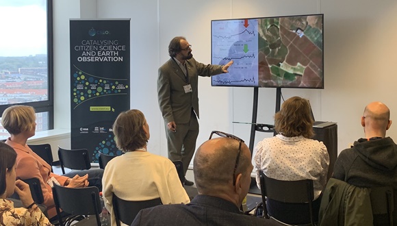
The second high-impact achievement in Joan Masó’s career was creating the Web Map Tile Service standard in the Open Geospatial Consortium (OGC), the foremost international organization with an exclusive focus on developing standards for the geospatial information sector. This is something else he attributes to being in the right place at the right time. “The chance arose to work with the Barcelona Supercomputing Center on a short but highly visible second-generation internet project, and we created the first map-viewing prototype for the Web,” he explains. As a result of that joint undertaking, “we got to know OGC and its proposed standards for producing map viewers and servers, and discovered that it was a much more open organization than we had imagined, that it was easy to be part of the discussion, and that changed everything.”
The standards in question are technical specifications that make it possible to exchange georeferenced data via the internet and in segments so as to facilitate retrieval. They are vitally important, as they permit the interoperability that enables the GISs of public and private organizations to exchange data and to provide users with access to reliable, up-to-date information. “Today, the standard we wrote, the Web Map Tile Service, is considered one of the most widely implemented in the world. That means that most of the maps published use it, as it allows for them to be combined.”
When asked if he is comfortable with the statement that his work has been helping to deal with geospatial information’s Tower of Babel since 2003, his reply is instant. “Yes, it’s fantastic. I’m tackling the Tower of Babel by trying to make information more visual and improving its presentation so that it’s easier to understand.”
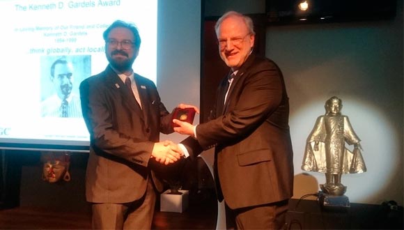
The joint work in question was a factor in him receiving OGC’s 2018 Gardels Award. “The fact that we were given the award shows just how highly OGC values teams that make small but constant contributions to standardization, without major breakthroughs being necessary.”
Universal data that empowers people
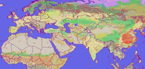
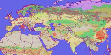
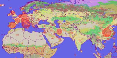
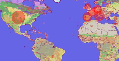
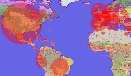
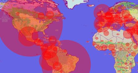
The notion of empowering people to develop the ability to think critically gets “a big thumbs up” from Joan Masó. A recent example of such empowerment in his work is a series of maps showing the evolution of COVID-19 based on open data from health authorities and universities. Nonetheless, he does not claim that universalizing data does away with barriers, merely that it “creates opportunities”. He explains that sharing data on a large scale means that “intermediate people can use it to create new applications, which can end up having an impact on many other people. If data isn’t open, it won’t reach anybody and obtaining it is expensive. If it is open, you can get down to work; all you need is an idea about what to do with it.”
The myth of a world without barriers to information is simply a myth, according to this physicist who is no stranger to programming. “If there were no barriers to information, excess information would be a barrier. Breaking big data down and analysing it is very difficult; that’s what our current work involves, as it happens. But there’s always one barrier or another.”
By choice, and almost as a form of activism, Joan Masó uses his proprietary technology to develop virtually all the downloadable maps he creates. He has a compelling argument for doing so. “We develop practically everything from scratch because we like to do things our way and because, as researchers, it’s useful to be in control and to be able to change things easily. We don’t ignore the standards, but the technology is ours and we allow ourselves exceptions and experiments.”
As an active member of Group on Earth Observations working groups, he is currently occupied with the Sustainable Development Goals (SDGs), “observing interactions between systems to minimize adverse effects and smooth the way for the goals to be met.” His answer to the question of what GISs have to offer the Sustainable Development Goals is short and to the point. “They explain specific aspects of distribution across territory – in the form of maps – rather than just simplifications with national averages.”
Joan Masó’s specialized vocabulary is less intimidating when you are actually face to face with him, thanks to his warm nature and desire to educate, which the students taking the official master’s degree in GISs and Remote Sensing offered by CREAF and the UAB undoubtedly appreciate. The unrelenting perseverance and self-discipline evident in the way he does things make for another appealing characteristic. Perhaps that is what lies behind his personal passion for the sophisticated science of aeronautics.
This action is part of the Severo Ochoa “ULandscape” funded in 2019 by the Agencia Estatal de Investigación of the Spanish Ministry of Science and Innovation to support Research Centres of Excellence.


